

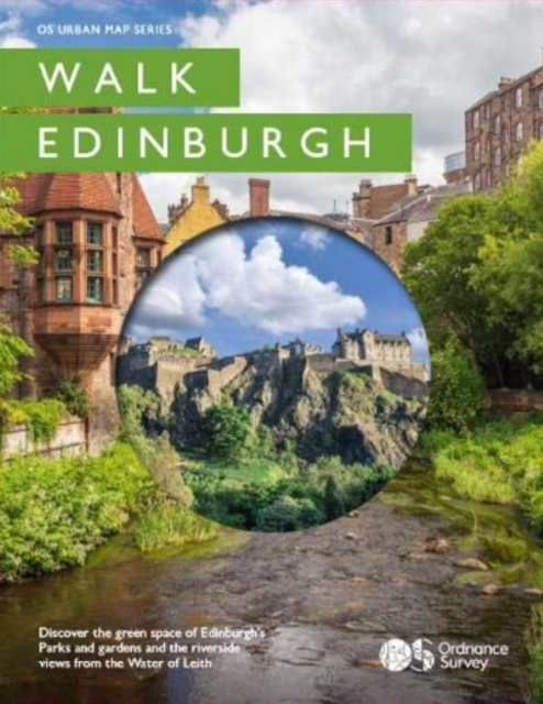
Walk Edinburgh
ourprice £9.99
| Format | Fold-out book or chart |
|---|---|
| Publisher | Ordnance Survey |
| Publication Date | 2020-06-01 |
| ISBN-13 | 9780319091906 |
In stock
Description
Printed as a strip map over 11 panels Walk Edinburgh incorporates a unique concertina fold design so it can be read like a book or unfolded to reveal a section of the Water of Leith on one side and Edinburgh’s spectacular Castle and Royal mile on the reverse. It also includes Holyrood park, Calton hill and the Botanical gardens. These colourful 3D artworks of the Parks and the Water of Leith also contain recommended authored routes to take the walker through the points of interest and history of the city’s river and green space. Walk Edinburgh is a new urban map designed for people wanting to get into local green spaces and improve their health but also for the tourist audience wanting to discover the rich history and open spaces of this magnificent city. And, with accessible routes it is a map for the whole family.
Additional information
| Weight | 0.082 kg |
|---|---|
| Dimensions | 0.8 × 18.1 × 14.4 cm |
| Publisher | Ordnance Survey |
| Imprint | Ordnance Survey |
| Format | Fold-out book or chart |
| ISBN-13 | 9780319091906 |
| Publication Date | 2020-06-01 |
| Publication Year | 2020 |
| Country of Publication | GB |
| Language | English |



Reviews
There are no reviews yet.