

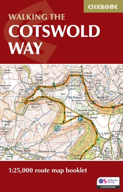
The Cotswold Way Map Booklet: 1:25,000 OS Route Mapping
ourprice £9.95
| Format | Paperback |
|---|---|
| Publisher | Cicerone Press |
| Publication Date | 2024-02-28 |
| Pages | 48 |
| ISBN-13 | 9781786312112 |
In stock
Description
Explore the scenic Cotswold Way, a classic National Trail stretching 163 km (102 miles) from the market town of Chipping Campden to the World Heritage city of Bath. This rewarding two-week hike takes you across the rolling hills, limestone villages, and sweeping escarpments of the Cotswolds National Landscape, combining peaceful countryside with vibrant historic towns at every turn. This map booklet provides all the detailed mapping you need to walk the Cotswold Way: Features 1:25,000 Ordnance Survey maps with the full route line clearly shown. Covers the entire Cotswold Way National Trail, from Chipping Campden to Bath. Suitable for walking the route in either direction. Compact and pocket-sized, perfect for jacket or rucksack. Includes the relevant extract from the OS Explorer map legend for easy reference. Handy facilities planner, stage-by-stage route summary tables, and full accommodation listings to help plan your itinerary. For step-by-step route descriptions, an accompanying Cicerone guidebook, ‘Walking the Cotswold Way’, is also available. GPX files are available to download. Part of the Cicerone series for long-distance walkers. Plan your Cotswold Way adventure with confidence and enjoy every stage of this characterful National Trail, brought to you by Cicerone, the trusted experts in outdoor guidebooks.
Additional information
| Weight | 0.054 kg |
|---|---|
| Dimensions | 0.6 × 16.6 × 10.6 cm |
| Publisher | Cicerone Press |
| Imprint | Cicerone Press |
| Format | Paperback |
| ISBN-13 | 9781786312112 |
| Publication Date | 2024-02-28 |
| Publication Year | 2024 |
| Pages | 48 |
| Country of Publication | GB |
| Language | English |




Reviews
There are no reviews yet.