

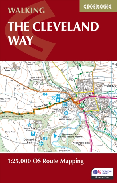
The Cleveland Way Map Booklet: 1:25,000 OS Route Mapping
ourprice £9.95
| Author | Paddy Dillon |
|---|---|
| Format | Paperback |
| Publisher | Cicerone Press |
| Publication Date | 2024-06-14 |
| Pages | 64 |
| ISBN-13 | 9781786312228 |
In stock
Description
Explore the stunning landscapes and rich heritage of the Cleveland Way National Trail, stretching 177 km (110 miles) from Helmsley to Filey across the North York Moors National Park. Discover rolling heather moors, dramatic coastal cliffs, and peaceful valleys as you walk this classic week-long route, featuring historic villages and breathtaking scenery. This map booklet provides all the detailed mapping you need to walk the Cleveland Way National Trail: Features 1:25,000 Ordnance Survey (OS) maps with the full route line clearly shownCovers the entire trail from Helmsley to FileySuitable for walking the trail in either directionCompact and pocket-sized, ideal for your jacket pocket or backpackIncludes the relevant extract from the OS Explorer map legendFor step-by-step route descriptions, an accompanying Cicerone guidebook, ‘Walking the Cleveland Way and Yorkshire Wolds Way,’ is also availablePart of the Cicerone series for National Trail walkers Plan your Cleveland Way adventure with confidence and enjoy every stage of this rewarding journey through the heart of the North York Moors, brought to you by Cicerone, the trusted experts in outdoor guidebooks.
Additional information
| Weight | 0.07 kg |
|---|---|
| Dimensions | 0.8 × 22.7 × 16.5 cm |
| Author | Paddy Dillon |
| Publisher | Cicerone Press |
| Imprint | Cicerone Press |
| Format | Paperback |
| ISBN-13 | 9781786312228 |
| Publication Date | 2024-06-14 |
| Publication Year | 2024 |
| Pages | 64 |
| Country of Publication | GB |
| Language | English |



Reviews
There are no reviews yet.