

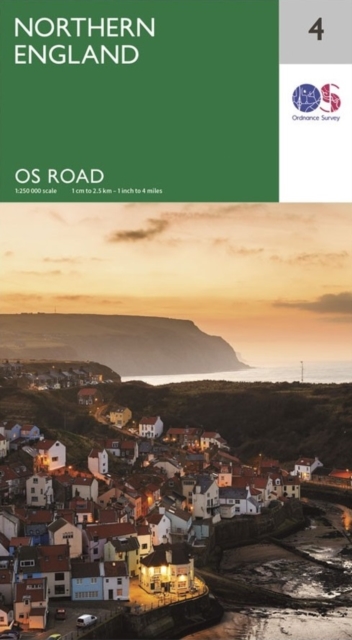
Northern England
ourprice £7.99
| Format | CB |
|---|---|
| Publisher | Ordnance Survey |
| Publication Date | 2020-01-27 |
| ISBN-13 | 9780319263761 |
In stock
Description
The OS Roadmaps series are single sided folded maps, the 8 maps provide GB 1: 250 000 coverage to enable the end user to navigate and plan their road journey. The maps include all motorways, primary routes and A roads plus detailed tourist information including National Parks, Country Parks and World Heritage sites and a useful town and city gazetteer. The eight maps in the series are Northern Scotland, Orkney & Shetland, Western Scotland and the Western Isles, Southern Scotland and Northumberland, Northern England, East Midlands and East Anglia, Wales/Cymru and West Midlands, South West England and South East England.
Additional information
| Weight | 0.13 kg |
|---|---|
| Dimensions | 1.6 × 21.6 × 14.3 cm |
| Publisher | Ordnance Survey |
| Imprint | Ordnance Survey |
| Format | CB |
| ISBN-13 | 9780319263761 |
| Publication Date | 2020-01-27 |
| Publication Year | 2020 |
| Country of Publication | GB |
| Language | English |
Related products
-

Inspire: Life Lessons from the Wilderness
ourprice £10.99 Add to cart -
They All Love Jack: Busting the Ripper
ourprice £19.99 Add to cart -
Born to Be Posthumous: The Eccentric Life and Mysterious Genius of Edward Gorey
ourprice £14.99 Add to cart -
Family Business: An Intimate History of John Lewis and the Partnership
ourprice £20.00 Add to cart




Reviews
There are no reviews yet.