

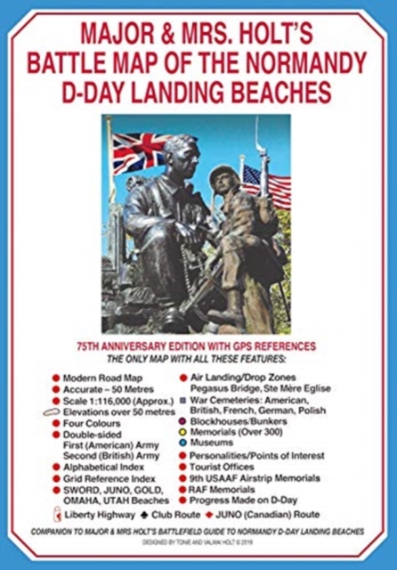
Major & Mrs Holt’s Battle Map of The Normandy D-Day Landing Beaches (Map)
ourprice £5.99
| Author | Tonie Holt |
|---|---|
| Format | Paperback |
| Publisher | Pen & Sword Books Ltd |
| Publication Date | 2019-10-03 |
| Pages | 2 |
| ISBN-13 | 9781526764942 |
In stock
Description
An accompaniment to the best-selling guide to the area, now sold separately. Showing the sea Assault formations for UTAH, OMAHA, GOLD, JUNO and SWORD Beaches and the air Assault Formations round Ste M Eglise and Pegasus Bridge; the D-Day Objectives and the Ground Gained on D-Day.
Additional information
| Weight | 0.054 kg |
|---|---|
| Dimensions | 0.2 × 20.5 × 14.3 cm |
| Author | Tonie Holt |
| Publisher | Pen & Sword Books Ltd |
| Imprint | Pen & Sword Military |
| Format | Paperback |
| ISBN-13 | 9781526764942 |
| Publication Date | 2019-10-03 |
| Publication Year | 2019 |
| Pages | 2 |
| Country of Publication | GB |
| Language | English |
Related products
-

Inner City Pressure: The Story of Grime
ourprice £12.99 Add to cart -
Born to Be Posthumous: The Eccentric Life and Mysterious Genius of Edward Gorey
ourprice £14.99 Add to cart -
Tattoo Sourcebook: Pick and Choose from Thousands of the Hottest Tattoo Designs
ourprice £30.00 Add to cart -
David Mitchell: Back Story
ourprice £10.99 Add to cart



Reviews
There are no reviews yet.