

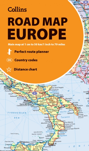
Collins Road Map of Europe: Folded Map, Easy to Read, Updated Mapping
ourprice £7.99
| Author | Collins Maps |
|---|---|
| Format | CB |
| Publisher | HarperCollins Publishers |
| Publication Date | 2025-01-16 |
| Pages | 2 |
| ISBN-13 | 9780008716479 |
In stock
Description
Discover new places in Europe with easy-to-read mapping from Collins.A fully revised and updated colour road map of Europe at a scale of 79 miles to 1 inch / 50km to 1cm (1: 5,000,000). Roads, motorways, European Route numbers, railways, airports, cities and towns are clearly shown, making the map ideal for route-finding and planning journeys.This map includes:Full index to place names (on reverse of sheet)Distance chart giving distances in kilometres between main townsEuropean Union map showing member states and the EurozoneLinks to further information on EuropeArea of coverageCovers the whole of Europe from the North Cape (Norway) to Gibraltar and from Ireland to east of Moscow. Also includes Iceland and Cyprus.Key to approved country code abbreviations – GB, F, D etc.Map key in English, French, German, Spanish and Italian
Additional information
| Weight | 0.098 kg |
|---|---|
| Dimensions | 1.5 × 22.8 × 13.2 cm |
| Author | Collins Maps |
| Publisher | HarperCollins Publishers |
| Imprint | Collins |
| Format | CB |
| ISBN-13 | 9780008716479 |
| Publication Date | 2025-01-16 |
| Publication Year | 2025 |
| Pages | 2 |
| Country of Publication | GB |
| Language | English |
Related products
-

Phonics for Letters and Sounds Red A Band Set
ourprice £152.00 Add to cart -
Girl With Dove: A Life Built by Books
ourprice £10.99 Add to cart -
Fatherland: A Memoir of War, Conscience and Family Secrets
ourprice £25.00 Add to cart -

The Boundless Deep: Young Tennyson, Science and the Crisis of Belief
ourprice £25.00 Add to cart




Reviews
There are no reviews yet.