

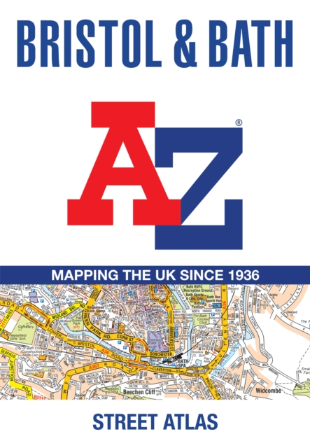
Bristol and Bath A-Z Street Atlas: Accurate Street Map for Easy Navigation (A5)
ourprice £8.99
| Author | A-Z Maps |
|---|---|
| Format | Paperback |
| Publisher | HarperCollins Publishers |
| Publication Date | 2026-05-21 |
| Pages | 144 |
| ISBN-13 | 9780008780746 |
In stock
Description
Navigate your way around Bristol and Bath with this detailed and easy-to-use A-Z Street Atlas. Printed in full-colour, paperback format, this atlas contains 96 pages of continuous street mapping in a NEW A5 format for ease of use. Areas covered include: Olvestone, Avonmouth, Patchway, Kingswood, Keynsham, Dundry, Frampton Cotterall, and Bradford-on-Avon. Also included are large scale city centre maps of both Bristol and Bath. A comprehensive index lists streets, selected flats, walkways and places of interest, place, area and station names. Additional healthcare (hospitals, walk-in centres and hospices) and transport connections are indexed as well.
Additional information
| Weight | 0.204 kg |
|---|---|
| Dimensions | 1 × 21.6 × 14.9 cm |
| Author | A-Z Maps |
| Publisher | HarperCollins Publishers |
| Imprint | HarperCollins |
| Format | Paperback |
| ISBN-13 | 9780008780746 |
| Publication Date | 2026-05-21 |
| Publication Year | 2026 |
| Pages | 144 |
| Country of Publication | GB |
| Language | English |
Related products
-

Born to Be Posthumous: The Eccentric Life and Mysterious Genius of Edward Gorey
ourprice £9.99 Add to cart -
They All Love Jack: Busting the Ripper
ourprice £19.99 Add to cart -
Phonics for Letters and Sounds Red A Band Set
ourprice £152.00 Add to cart -
Tattoo Sourcebook: Pick and Choose from Thousands of the Hottest Tattoo Designs
ourprice £30.00 Add to cart




Reviews
There are no reviews yet.