

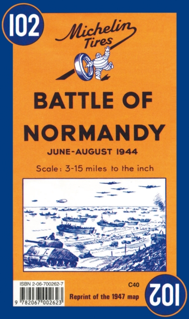
Battle of Normandy – Michelin Historical Map 102: Map
ourprice £6.99
| Author | Michelin |
|---|---|
| Format | CB |
| Publisher | Michelin Editions des Voyages |
| Publication Date | 1997-12-01 |
| Pages | 1 |
| ISBN-13 | 9782067002623 |
In stock
Description
Michelin Battle of Normandy Map 102 covers the region associated with the Battle of Normandy between June and August 1944, at a scale of 1:200,000. Historic WWII reproduction map. A detailed map of Normandy at a scale of 1:200,000 showing the main sites of the summer 1944 battle. This map is an antique-feeling reproduction of the map originally published by Michelin in 1947. The main map includes place names and features special icons denoting battle dates and parachute drops, as well as an inset showing the broader movements of the military forces. The original cartography includes all types roads, included those that were under construction – distances are also marked on roads. Castles, places of worship, ruins are all clearly marked. The text is in French and English.Use this in conjuction with a modern day map to help you show what changes have happened since 1944
Additional information
| Weight | 0.058 kg |
|---|---|
| Dimensions | 0.9 × 11.3 × 18.2 cm |
| Author | Michelin |
| Publisher | Michelin Editions des Voyages |
| Imprint | Michelin Editions des Voyages |
| Format | CB |
| ISBN-13 | 9782067002623 |
| Publication Date | 1997-12-01 |
| Publication Year | 1997 |
| Pages | 1 |
| Country of Publication | GB |
| Language | English |
Related products
-

Redemption Song: The Definitive Biography of Joe Strummer
ourprice £14.99 Add to cart -
Taking le Tiss
ourprice £9.99 Add to cart -
Born to Be Posthumous: The Eccentric Life and Mysterious Genius of Edward Gorey
ourprice £9.99 Add to cart -
Family Business: An Intimate History of John Lewis and the Partnership
ourprice £20.00 Add to cart




Reviews
There are no reviews yet.