

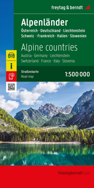
Alpine countries, Road map 1:500.000,: Austriaq, Germany, Liechtenstein, Switzerland, France, Italy
ourprice £12.90
| Author | Freytag-Berndt |
|---|---|
| Format | CB |
| Publisher | Freytag-Berndt |
| Publication Date | 2025-08-15 |
| Pages | 2 |
| ISBN-13 | 9783707924008 |
In stock
Description
With the 1:500,000 scale Alpine Countries road map, vacationers traveling by car, motorcycle, or caravan in the Alpine region will find their way around easily. The extensive road network is accurately depicted, and distances and many excursion destinations are marked on the map. Information on the Alpine countries road map Scale 1:500,000 Tourist information Campsites Digital place register with postcodes Format approx. 137.5 x 96 cm, double-sided Digital place register The digital place register can be easily accessed using a QR code. The ideal road map for the Alpine region. Drivers and motorcyclists appreciate freytag & berndt’s precise cartography, especially for route planning and local orientation. Camping enthusiasts will, of course, find all campsites on the map. Printed in Austria.
Additional information
| Weight | 0.128 kg |
|---|---|
| Dimensions | 1.5 × 25 × 12.5 cm |
| Author | Freytag-Berndt |
| Publisher | Freytag-Berndt |
| Imprint | Freytag-Berndt |
| Format | CB |
| ISBN-13 | 9783707924008 |
| Publication Date | 2025-08-15 |
| Publication Year | 2025 |
| Pages | 2 |
| Country of Publication | GB |
| Language | English |




Reviews
There are no reviews yet.