

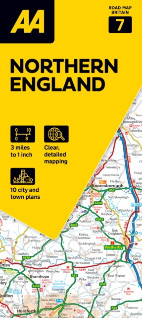
AA Road Map Northern England
ourprice £6.99
| Format | CB |
|---|---|
| Publisher | AA Publishing |
| Publication Date | 2026-03-26 |
| ISBN-13 | 9780749584702 |
In stock
Description
This range of easy-to-use, foldedsheet maps, are ideal for discovering both familiar and new areas featuringclear mapping and easy-to-read indexes to help you reach your destination. Discover wonderful scenic routes and tourist attractions in the regional maps,including National Trust, English, Scottish and Welsh historical sites, as wellas other hard-to-find places and useful locations. Each folded map ishandy when on the move, but also unfolds to a large flat sheet ideal forstudying indoors and for planning your trip. All maps includeinformation on toll points, service areas, road numbers, motorways and ferries,plus helpful information such as the National Grid, road distances and countyboundaries. Nine regional maps feature the top 300 AA-listed caravan and campingsites, scenic routes, plus many places to visit, as well as a selection ofpopular town plans, providing practical information such as car parks, one waystreets and shopping centres.
Additional information
| Weight | 0.136 kg |
|---|---|
| Dimensions | 1.9 × 13.1 × 25.2 cm |
| Publisher | AA Publishing |
| Imprint | Automobile Association |
| Format | CB |
| ISBN-13 | 9780749584702 |
| Publication Date | 2026-03-26 |
| Publication Year | 2026 |
| Country of Publication | GB |
| Language | English |




Reviews
There are no reviews yet.