

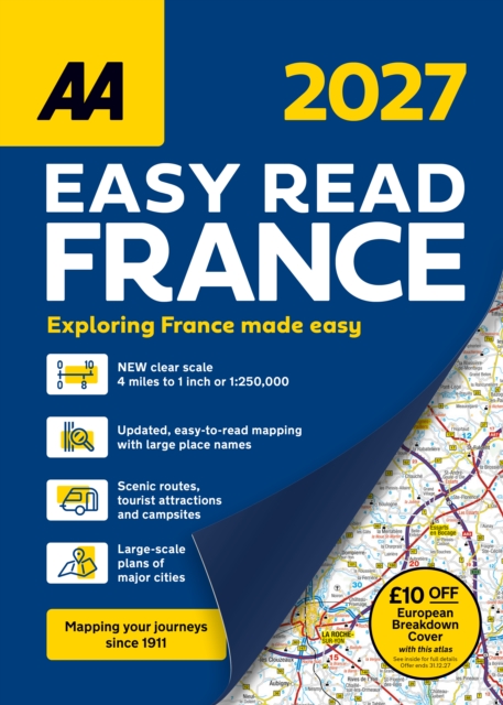
AA Easy Read Atlas France 2027
ourprice £14.99
| Format | Spiral bound |
|---|---|
| Publisher | AA Publishing |
| Publication Date | 2026-04-09 |
| Pages | 240 |
| ISBN-13 | 9780749584580 |
In stock
Description
Newly created and updated for 2027, this specialisteasy-to-read, large road atlas is designed for the British motorist in Francewith mapping at 1:250,000 scale. Coverage includes road mapping for Corsica,plus terminal plans of Folkestone and Calais so journeys via the Channel Tunnelare covered right from the off. The atlas includes a 2-page plan of centralParis, plus super-scale detailed plans of major, popular cities includingBordeaux, Lille, Lyon, Marseille, Nice, Strasbourg and Toulouse. An overview map of major routes enables quick and easy routeplanning, and travel rules and information is included for driving in France,Monaco and Andorra to help your journey go smoothly. The atlas makes exploring France easy with scenic routes,tourist routes, toll and toll-free motorways and places of interest clearlyhighlighted. Numerous places to visit are located on the mapping together withuseful features such as golf courses, campsites, petrol stations and ferries. Steep gradients, winter road closures and roads unsuitable for caravans aremarked so you can choose the best route for your journey all-year round. Produced by expert European cartographers MairDumont, the detailed mapping isperfect for every trip.
Additional information
| Weight | 0.944 kg |
|---|---|
| Dimensions | 1.8 × 35.2 × 25.9 cm |
| Publisher | AA Publishing |
| Imprint | Automobile Association |
| Format | Spiral bound |
| ISBN-13 | 9780749584580 |
| Publication Date | 2026-04-09 |
| Publication Year | 2026 |
| Pages | 240 |
| Country of Publication | GB |
| Language | English |




Reviews
There are no reviews yet.